Case Studies
Emergency Management
ALABAMA
2024 I FLOOD/HURRICANE
The Disaster
How We Helped
The Result
Kansas
2023/2024 I TORNADOS
The Disaster
How We Helped
Futurity partnered with the State OEM to roll out a comprehensive solution for emergency management. We delivered in-person training to every county, equipping users to capture, share, and analyze damage data effectively. Our platform’s real-time data coordination provided a unified view of incidents, enhancing collaboration across counties and improving situational awareness during statewide events.
The Result
The implementation of the Futurity Platform transformed emergency management across the state:
The State of Kansas has significantly strengthened its ability to respond to tornadoes and other natural disasters, ensuring better protection for its communities and citizens.
IOWA
2024 I TORNADO, FLASH FLOODING
The Disaster
How We Helped
The statewide rollout of the Futurity Platform revolutionized Iowa’s disaster response by standardizing processes across all counties. Our easy-to-use system empowered emergency managers with real-time data, allowing them to make faster, better-informed decisions. With comprehensive training, Futurity fostered collaboration between teams across the state, ensuring all users were proficient and ready to respond effectively.
The Result
MASS CARE
OREGON
2024 I POST DISASTER PUBLIC CARE
The Disaster
How We Helped
The Result
Lahaina, Hawaii
2023 I FIRE
The Disaster
How We Helped
The Result
IRVINE, CALIFORNIA
2024 I ACTIVE SHOOTER PREPAREDNESS
The Disaster
How We Helped
Futurity partnered with UC Irvine’s Emergency Management Department and Doberman Emergency Management to design and execute a detailed inspection plan. Our disaster management platform played a critical role by:
• Identifying security vulnerabilities
• Offering actionable options for remediation
• Providing a Common Operating Picture (COP) for seamless coordination during a potential event
With GIS mapping and layering integrated into the COP, stakeholders gained enhanced situational awareness, ensuring all campus buildings were assessed effectively.
The Result
Department of Transportation
MARION COUNTY, ARKANSAS
2024 I FLOOD
The Disaster
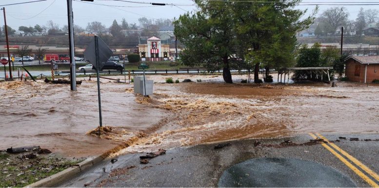
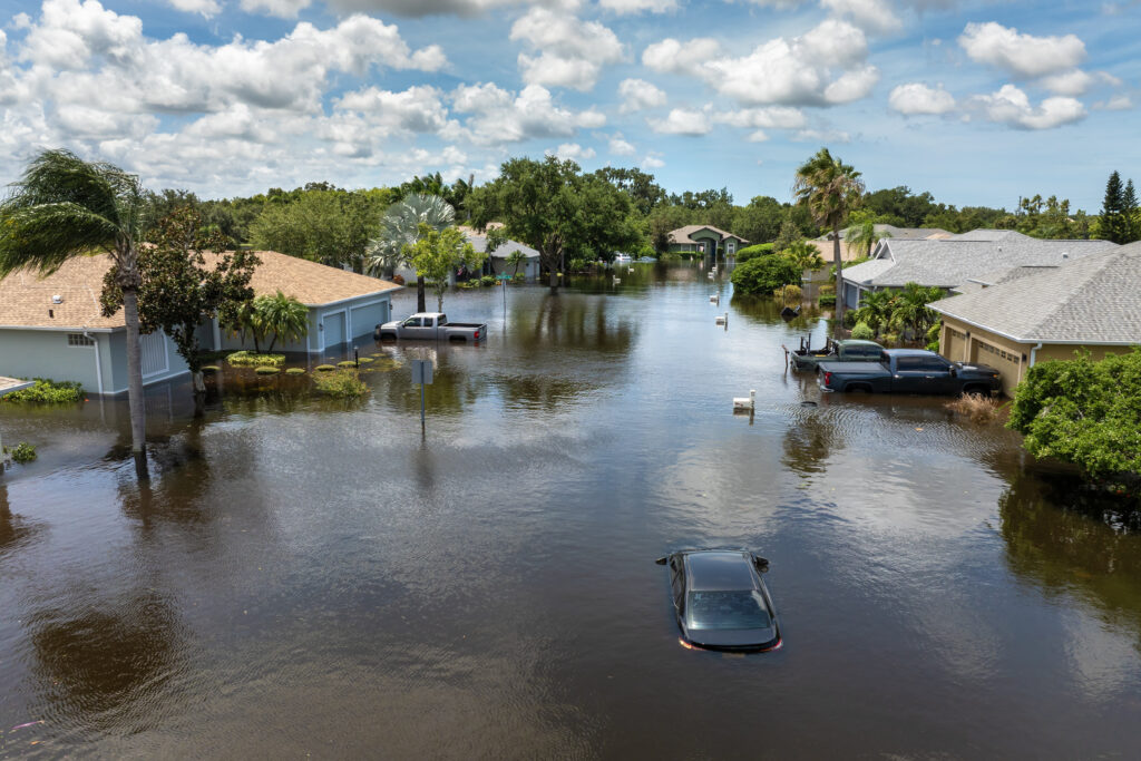
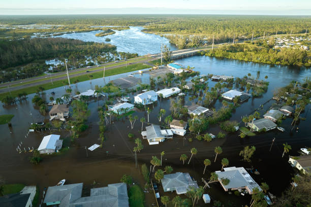
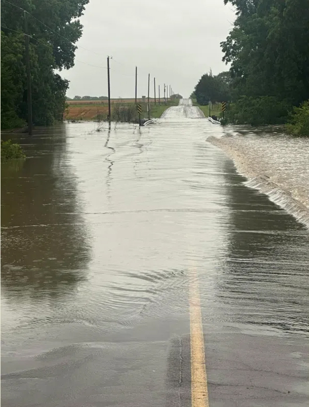
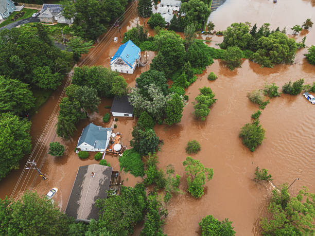
A rare flash flood caused widespread damage in Marion County, Arkansas in 2022. Significant rainfall occurred within a few hours, affecting roads and surface areas. Major flooding made travel extremely dangerous, and officials warned people to stay home. Previously, damage assessments were completed with GIS locations of the incidents but lacked meaningful context or a comprehensive picture for the overall response and recovery effort.
How We Helped
The Result
Testimonial
“We have a lot of rural areas in our county with no cell service so being able to use the mobile app offline was a huge help.”
– Melissa Penn, Disaster Prep, Marion County
Sutter County, California
FEBRUARY, 2024 I FLOOD
The Disaster
How We Helped
The Result
Sacramento, California
FEBRUARY, 2024 I FLOOD
The Disaster
How We Helped
The Result
FIRE DEPARTMENT
Montgomery County, Maryland
2024 I FIRE
The Disaster
Montgomery County Fire and Rescue Service (MCFRS), which includes 54 fire stations, faced a challenge with its Community Risk Reduction (CRR) efforts because of outdated software. They needed unlimited reporting capabilities, multi-platform integration, and a user-friendly system. It was difficult for MCFRS to complete an effective annual Community Risk Assessment (CRA) and obtain data about life-threatening risks, such as smoke alarm installations in economically disadvantaged neighborhoods.


