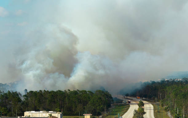
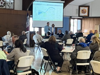
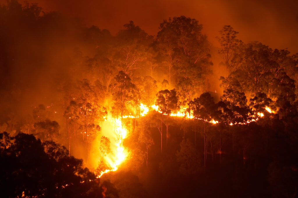
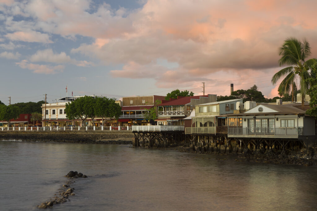
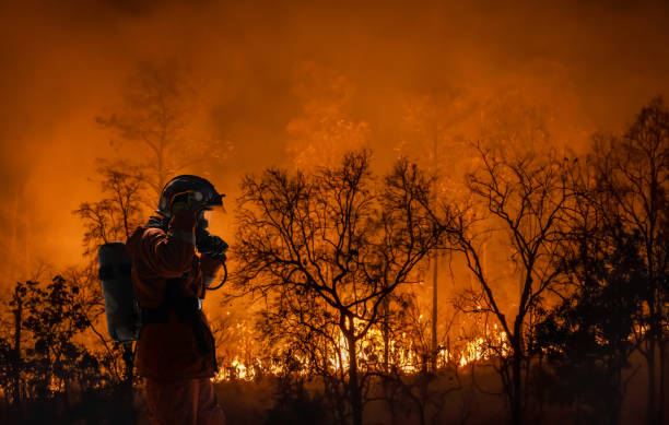
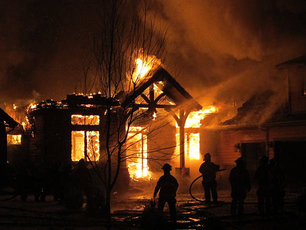
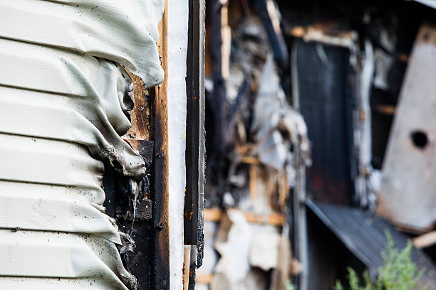
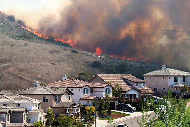
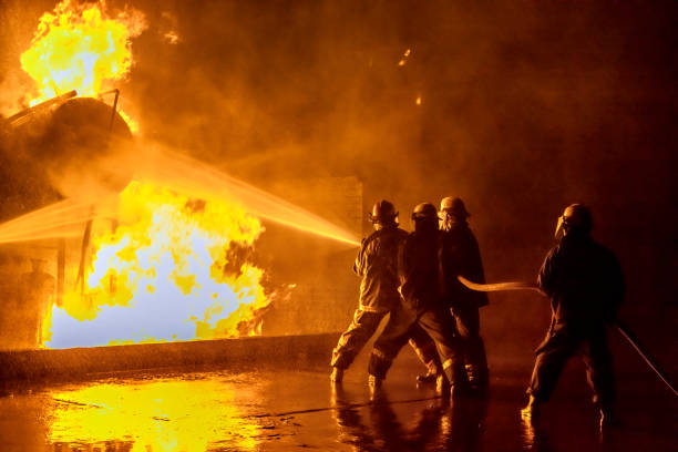
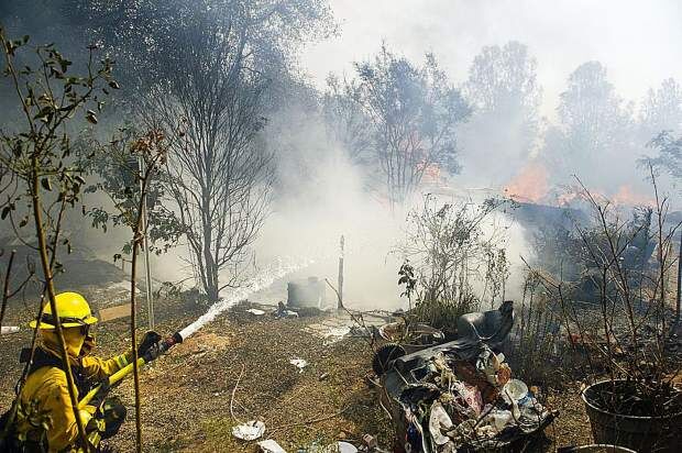
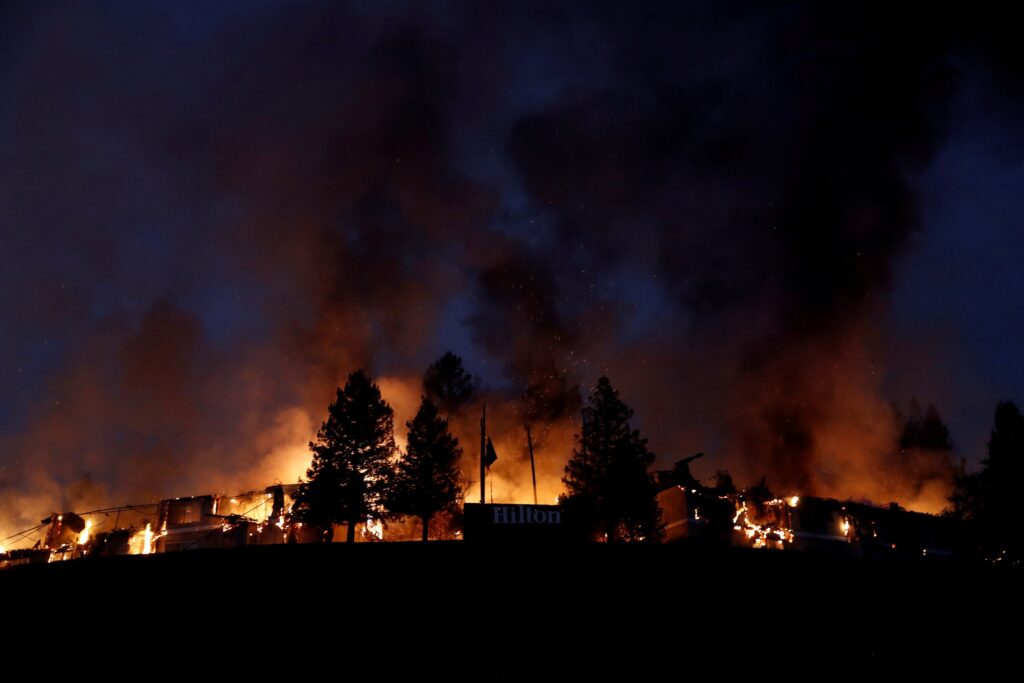
Case Study - Health & Human Services

Sacramento County faced significant challenges in being able to track, quantify and coordinate government services to support their local unhoused population. Their previous system relied on manual processes, including documentation by pen and paper, and cell phone photos and notes, resulting in limited data precision and a lack of situational awareness.

How We Helped

Futurity was able to provide a technology solution that identified, quantified, and helped geolocate homeless encampments, allowing the Office of Emergency Services to direct county services more impactfully from accurate, real-time data.

This data also gave the team a common operating picture to work from, allowing better data-informed decision-making and to support innovative programs such as the County’s “Safe Stay” site initiative and local cooling and warming centers. 

By leveraging the Futurity Platform, Sacramento County successfully transformed its response and tracking efforts, and are now set up with tools to better advocate for and support the well-being of one of their most vulnerable human populations.

Key Futurity Platform Features

GIS Mapping & Layering

The GIS Mapping & Layering feature provided a comprehensive, layered view of homeless encampments on a GIS-enabled map. This allowed the County to see real-time data to track and update of the location and needs of the population they were supporting

Common Operating Picture (COP) Dashboard

The Futurity Dashboard allowed the County to better report on, and see a comprehensive summary of the data which could inform their allocation of resources. The entire team from the field to the office could work from a common operating picture, understanding the unhoused population's needs in real-time