Intuitive Mobile Solutions
For Your Workforce
Unlock productivity & streamline workflow with our mobile solutions
Previous
Next

Unlock productivity & streamline workflow with our mobile solutions
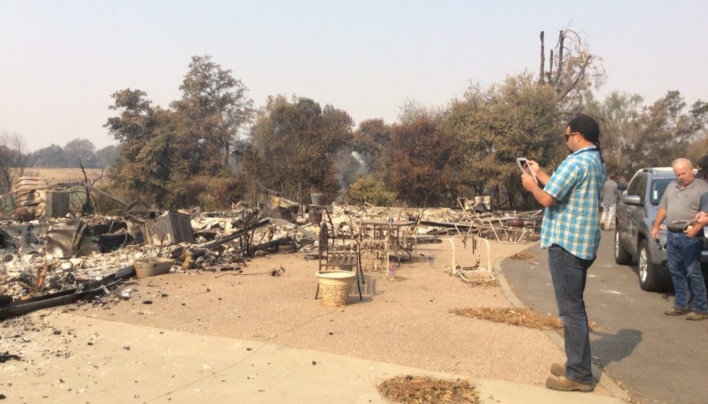
Our Disaster Pre-Planning & Damage Assessment Solution


Move from any paper form to mobile digital GIS based data collection
Ease of use is critical. We believe that the learning curve for field workers and system administrators should be short and all applications should be intuitive. Software should create productivity, not complexity.
All collected field data from our mobile apps is instantly viewable in our hosted cloud-based GIS dashboards. System administrators can conduct staff assignments, gain situational awareness, and quickly produce comprehensive reports.
Our GIS mapping of collected mobile data provides greater situational awareness with real time data. We can also upload your GIS data so that you can use information that you already have to gain even greater insight.
Our solutions provide flexible reporting of all data including geo-coded photos and digital signatures. Collected data is aggregated into comprehensive reports with one-click. Providing faster and actionable data is the key in our digital world.
We deliver simple, effective software solutions that make your job easier and give you actionable use of your data.
We offer extremely effective live, web-based, and on-demand video training. We pride ourselves on excellent customer service.
All of our mobile products are available through Apple iOS, Android and Windows 10 platforms.
Our solutions are used in 29 states and are proven to be effective and reliable even in extreme conditions.
“I can get damage assessment software in a lot of places. We stick with Orion because of the service we know we’ll get. The state has other cheaper or even free solutions that have been offered to us, but this tool is so easy, so quick, so graphical and the service has been so fantastic that I don’t want to leave it even for something that is free because I know that I already have an excellent product with wonderful customer service.”
“The Orion API worked seamlessly with our state ArcGIS system and allowed us to see all of the data that was coming in from the counties that were using the Orion system. This saved us a lot of time and energy and allowed us to quickly understand what was going on in the counties that were impacted by Hurricane Florence and later Hurricane Michael that were collecting info through Orion. We really appreciated the Orion staff and all of their help.”
Design by JMG