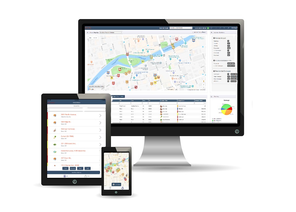
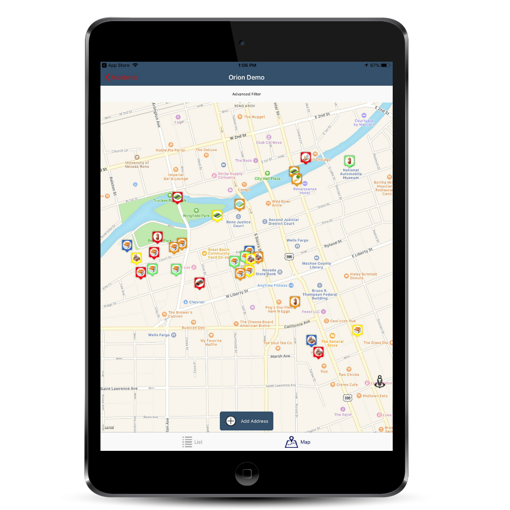
With the Orion mobile app, users can document everything in the field with simple touchscreen collection and quick snapshots.
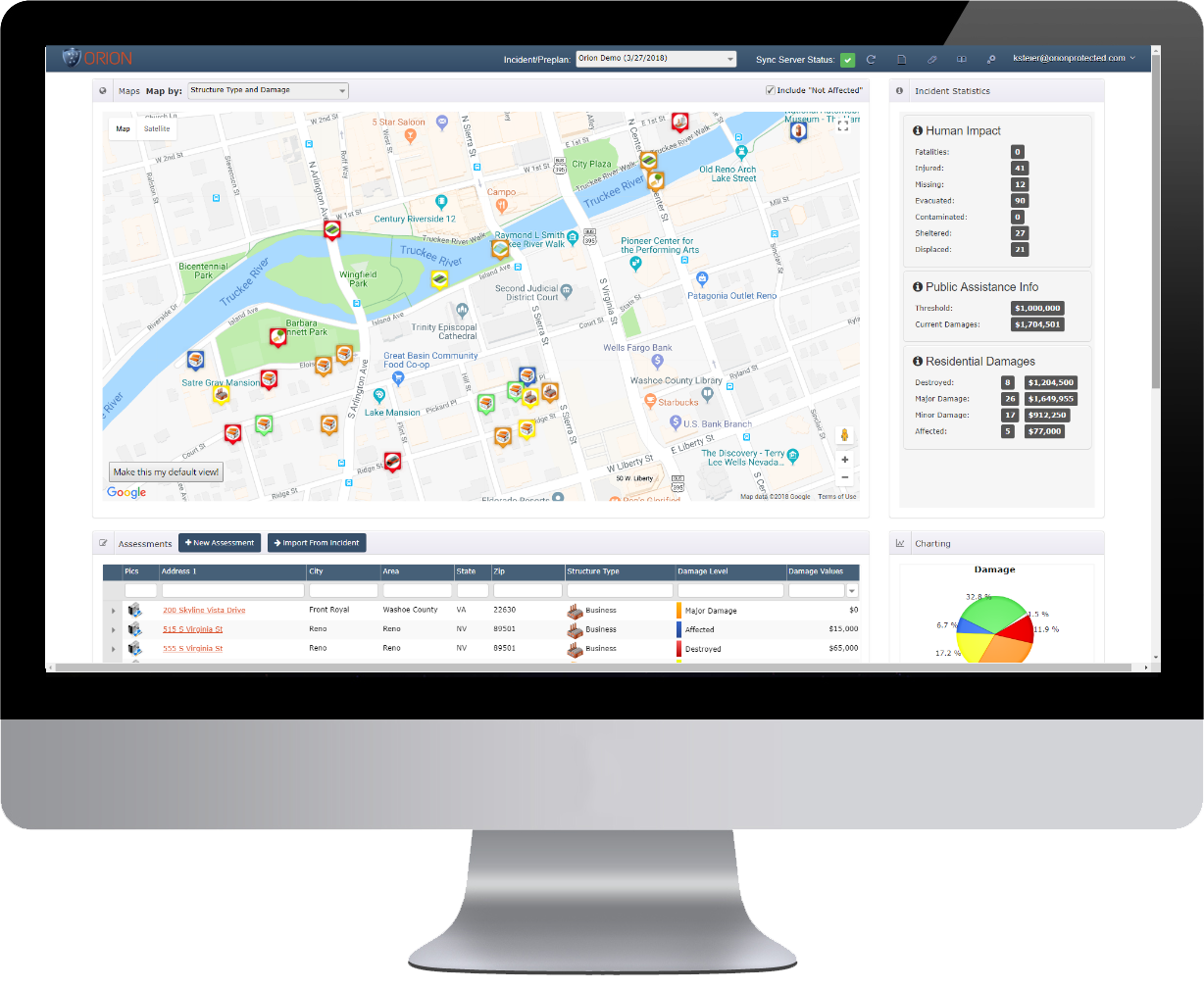
Data and photos are geo-coded and time-stamped and synced to the dashboard for quick situational awareness.
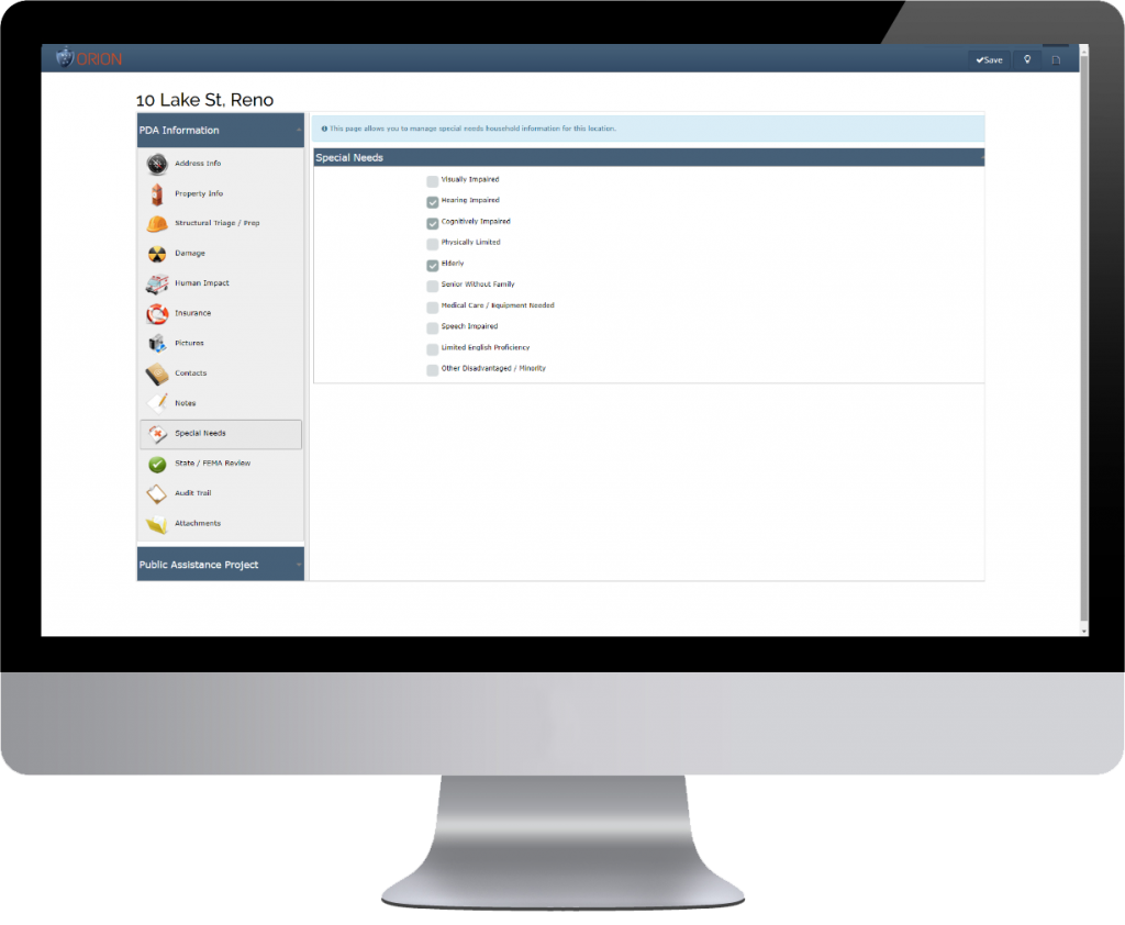
Before photos from pre-planning, and after disaster photos, can be ported into the FEMA reports for better documentation improving your chances of gaining higher reimbursements with less kick-outs.