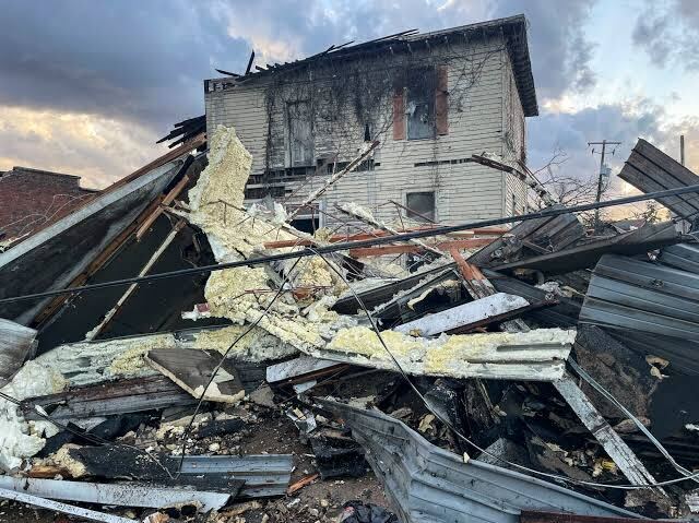
Are you prepared to face natural disasters in your community? What steps have you taken to combat them? They are highly devastating and cause irreparable loss of life and property. Traditional methods, such as raising long fences or building walls around your property, won’t suffice. Whether hurricanes, earthquakes, floods, or wildfires, all are equally devastating and may ruin your and your community’s lives. Emergency management software is what you need to have to combat these natural disasters effectively and efficiently.
How Does Emergency Management Software Work When Natural Disasters Occur?
Emergency management software provides you with real-time monitoring of environmental conditions. Collecting data from various sources, such as sensors, satellites, and weather stations, this software allows concerned authorities to track natural disasters. Giving early warning systems is a major component of this software, which can alert your community about impending threats. As a result, they can opt for timely evacuations and take appropriate measures against these disasters.

Precision Response Planning
The software facilitates precision response planning by simulating various disaster scenarios and analyzing historical data. By understanding the potential impact of a natural disaster on specific areas, concerned authorities can develop targeted response strategies. This includes identifying evaluation routes, setting up emergency shelters, and deploying resources based on the quantum of the disaster.
Resource Allocation and Logistics
Allocating resources is paramount during natural disasters. The software streamlines resource management by providing a centralized platform to track and allocate assets such as supplies, equipment, and personnel. This optimization ensures that resources reach where they are needed most.
Communication and Coordination
Effective communication is a cornerstone of successful emergency response. The software improves communication and coordination among first responders, affected communities, and different agencies. Features such as geospatial collaboration tools, video conferencing, and instant messaging enable seamless information exchange, ensuring that everyone involved is well-informed and on the same page.
GIS Integration for Spatial Analysis
Geographic Information Systems play a crucial role in combating natural disasters. The software often integrates GIS capabilities, allowing authorities to analyze spatial data related to the disaster. This includes mapping the affected areas, assessing the vulnerability of infrastructure, and planning evacuation routes. GIS integration improves situational awareness, helping decision-makers in making effective response strategies.
Post-Disaster Assessment and Recovery Planning
Once the immediate threat has subsided, the software continues to play a vital role in the recovery phase. These systems help authorities conduct post-disaster assessments, documenting the extent of the damage and identifying areas in need of reconstruction. The data collected serves as a foundation for developing comprehensive recovery plans and allocating resources for rebuilding efforts.
Community Engagement and Education
Effective emergency management extends beyond official response efforts. The software can be utilized to engage and educate the community. Through communication channels, social media integration, and educational modules, authorities can disseminate important information about preparedness measures, evacuation procedures, and post-disaster assistance programs. Engaged and informed communities are better equipped to handle natural disasters.
At FuturityIT, we streamline mitigation efforts by providing response, analytics, and recovery efforts, ensuring that resources are allocated quickly and effectively to those in need.
Briefly Put!
Always remain ready to combat natural disasters; otherwise, they can cause an irreparable loss of life and property in your community. Emergency management software is the right solution for you to combat these natural disasters.